
Five Alpharetta ZIP Areas Compared
The official city GIS map revised April 17, 2019 shows five ZIP polygons intersecting Alpharetta. The map warns that the lines are approximate and not guaranteed. The table describes their practical relationship to the city, not an exact legal boundary or a claim that every address in each ZIP lies within Alpharetta.
| ZIP Code | Areas Covered | Post Office | Notes |
|---|---|---|---|
| 30004 | West and north postal Alpharetta, including Milton-associated territory | Alpharetta/Milton delivery network | Major city-limit mismatch |
| 30005 | East and northeast Alpharetta, including Windward-area development | Alpharetta delivery | Extends toward Johns Creek; verify parcel |
| 30009 | Central and downtown Alpharetta, plus nearby west-central area | Alpharetta station/delivery | Strong core association, but still verify |
| 30022 | Southeast postal Alpharetta and North Point/eastward territory | Alpharetta delivery | Includes addresses associated with Johns Creek |
| 30076 | Southwest and southern fringe toward Roswell | USPS delivery network | Only a small part intersects the city |
No official material identified an Alpharetta PO-box-only ZIP or unique institutional ZIP. Nor did it support a ZIP split or realignment year. Those blanks should remain blank. The defensible facts are the five intersections, their broad geography, and the need to verify any exact address.
Alpharetta ZIP 30004 Crosses Milton
ZIP 30004 is the strongest warning against reading a postal city as a municipal boundary. It spans west and north postal Alpharetta and includes territory associated with Milton, plus areas beyond Alpharetta city limits. A letter can correctly use “Alpharetta, GA 30004” while the parcel is governed by another city or Fulton County.
For a resident directory question, USPS verifies that the mailing line is deliverable. AlphaGIS or the county parcel viewer then settles whether the parcel falls within incorporated Alpharetta. That second answer determines where to request permits, planning records, code files, and other local material.
Boundary check. A 30004 mailing label is not proof of Alpharetta residence; preserve the postal result and the GIS jurisdiction result as separate facts.
ZIP 30009 Centers Alpharetta Searches
ZIP 30009 is closely associated with downtown Alpharetta and the nearby west-central area. Historic-core questions can therefore overlap with older deeds, local histories, city planning files, and address changes. Yet even here, the exact parcel still needs confirmation. ZIP polygons were designed for delivery, not as a substitute for city limits.
The modern downtown area differs from the subdivision pattern found farther east. For a specific name or home, begin with the address and parcel. For a broad civic question, use the municipal boundary and city department responsible for the record. This keeps a familiar ZIP from becoming a false jurisdiction shortcut.
Eastern Alpharetta ZIP Code Edges
ZIP 30005 covers east and northeast postal Alpharetta, including Windward-area development and territory toward Johns Creek. Plats, parcel IDs, deeds, and permits are especially useful in subdivision research because they follow recorded land units more closely than a neighborhood label does.
ZIP 30022 covers southeast postal Alpharetta, North Point-area land, and eastward addresses associated with Johns Creek. Business premises, apartments, and separately owned parcels can sit near one another. A parcel owner may not be an occupant, and a commercial mailing address is not a private resident listing. Confirm the feature type and municipal line before choosing records.
The narrow Alpharetta intersection with 30076 sits near the Roswell edge. Much of that postal zone lies outside Alpharetta. These eastern and southern transitions make the ZIP code directory useful as a first cut, but never a final map of residents.
Find Alpharetta Residents Within a ZIP
Official Alpharetta-area portals do not offer one clean “show all residents in this ZIP” button. Fulton assessor's basic search is driven by owner, parcel, and address. My Voter Page is driven by a known voter's identity and county. GIS supports spatial parcel work, but a verified ZIP-wide filter was not documented. Build a careful result from verified addresses rather than forcing a ZIP field that is not present.
- Check the address through USPS ZIP Code Lookup. Record the standardized mailing city, state, ZIP, and ZIP+4 when returned.
- Locate the same address in AlphaGIS or Fulton GIS. Confirm the parcel and city boundary rather than tracing the approximate ZIP polygon as law.
- Open the Fulton assessor card by address or parcel. Save owner, situs, mailing, subdivision, and lot fields while treating ownership and residence as distinct.
- For lawful voter information, use MVP only with known personal inputs or ask Fulton Elections whether a current list product is offered for the desired geography.
- Once the search narrows to a road or parcel group, switch to the Alpharetta street directory workflow for map adjacency and deed links.
Keep each result labeled by source. USPS establishes delivery format. GIS establishes mapped jurisdiction. The assessor establishes a named owner and land record. Elections records have their own legal limits. Combining them does not transform any one source into a full resident census.
USPS Fields Ground ZIP Code Lookup
The USPS tool is authoritative for delivery verification, but its city-and-state mode is not a legal city-limit map. Use it to identify postal ZIP choices or standardize a complete address. Then move to GIS. The ZIP code directory keeps those two jobs distinct because north Fulton mailing conventions cross municipal lines.
| Lookup field | Input or result | What it establishes |
|---|---|---|
| City | Alpharetta | Postal place name used for the query |
| State | Georgia | State portion of the delivery query |
| ZIP results | Postal codes returned for city/state | Delivery geography, not incorporated limits |
| Street address mode | House number and street | Standardized address and ZIP+4 when available |
Open the official USPS lookup before consulting the saved interface:
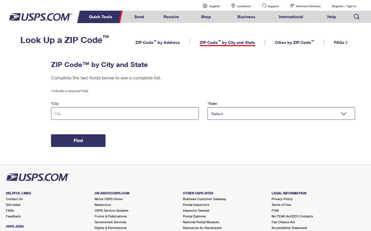
The form verifies postal information, while the next municipal or parcel check answers who keeps the local record.
Four Address Labels in Alpharetta Records
A ZIP search becomes more accurate when its address terms are kept separate. USPS controls preferred delivery formatting. The city and county maintain jurisdiction and situs. The assessor assigns a parcel identifier. Deeds describe land through recorded legal terms. One location can therefore carry several valid labels that serve different systems.
- ZIP code
- A five-digit USPS routing area used for mail delivery, not a municipal boundary.
- ZIP+4
- The five-digit ZIP plus four digits that narrow a delivery segment, building, or route.
- PO-box ZIP
- A code assigned chiefly to post-office boxes. No verified Alpharetta-only example was found.
- Unique ZIP
- A code assigned to one high-volume organization. No official Alpharetta example was confirmed.
- Carrier route
- A postal delivery path within a ZIP, which does not define a neighborhood or city.
Situs is the parcel's physical location. Mailing is where the tax bill goes. A legal description may identify subdivision, lot, block, boundaries, and recorded references even when the current street number is absent. Retain all four rather than overwriting one with another.
Build Alpharetta ZIP Views from Parcels
When a portal lacks a verified ZIP filter, GIS provides a sound alternative. Search an address, confirm its parcel, and inspect selected parcels within the mapped area. AlphaGIS supports address points, tax parcels, places, and streets, plus extent, point, polyline, and polygon selection. An optional buffer can widen the selection before opening a table.
The result should be described as selected parcels near or within an approximate mapped ZIP area, not as every resident in the ZIP. Parcel tables identify land and named owners. They omit many occupants. Aerial, zoning, land-use, and voting layers add context, but none changes that limit.
The City of Alpharetta's parks and trails resources provide recognizable public geography around the postal areas:
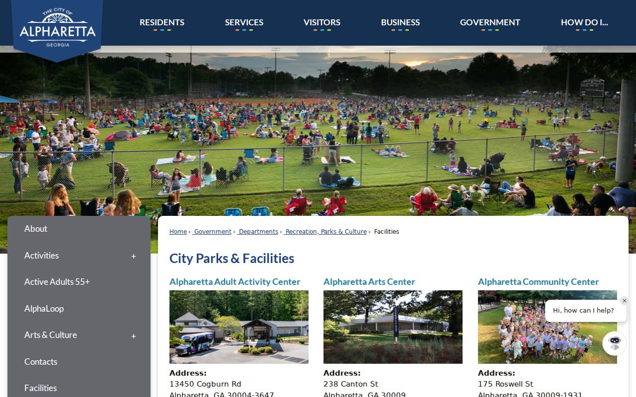
Public landmarks help orient a ZIP discussion, but parcel GIS remains the right source for a boundary-sensitive records search.
Alpharetta Community Names and ZIPs
Downtown, Avalon, Windward, and North Point are useful local reference points. They are not interchangeable with postal codes, subdivisions, voting districts, or incorporated boundaries. A community name can describe a development, a commercial area, or a broad part of town while the official land record uses a subdivision and lot.
The city's community resources connect residents with public projects and civic information. They do not publish a master private resident roll. Use those pages for place context, then use USPS, GIS, parcel records, and the responsible custodian for a precise record question.
Consult the Alpharetta community portal before reviewing its captured presentation:
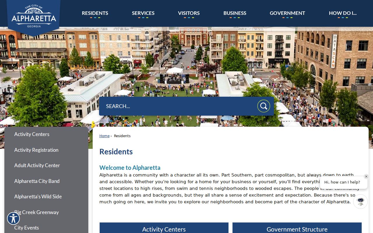
The local page supplies civic context without turning a familiar neighborhood label into an unsupported ZIP boundary.
Alpharetta ZIP Codes Versus City Limits
The mismatch is structural, not an error. USPS draws routes for delivery. Alpharetta and Fulton maintain government jurisdiction. The City/Fulton ZIP map itself marks its polygons approximate and not guaranteed. That is why 30004 and 30022 can carry an Alpharetta postal name beyond the city, and why only a small slice of 30076 touches Alpharetta.
For an ambiguous number, request the city address-assignment letter, subdivision plat, permit file, or street-name ordinance. Link an old and new number through the parcel ID and legal description. Fulton parcel IDs are identifiers, not street coordinates, so preserve the complete formatted value.
After GIS confirms city jurisdiction, use the official Alpharetta government directory to identify the municipal office responsible for the record:
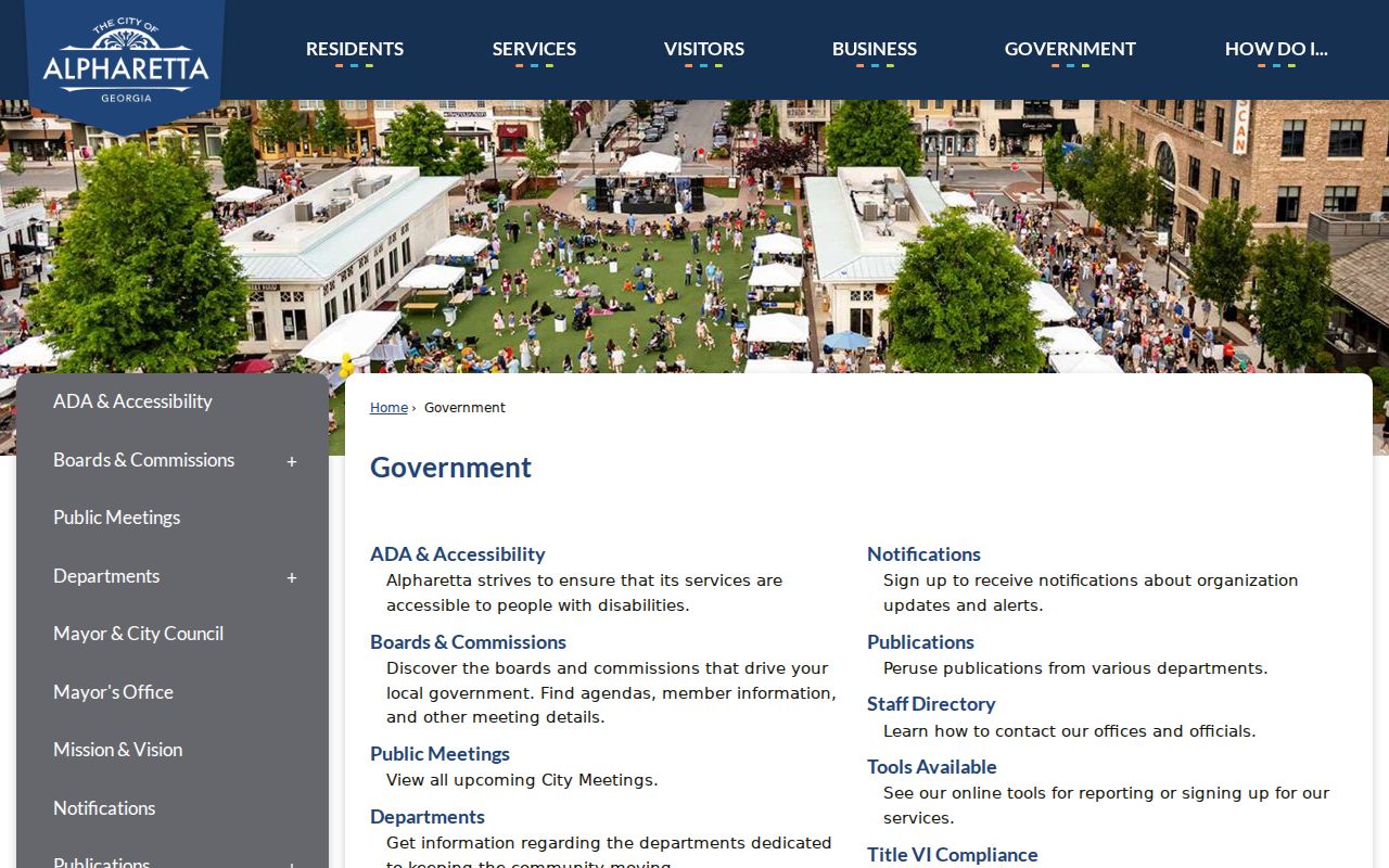
The city directory is a routing source once the boundary is settled; it cannot turn a postal label into incorporated-city status.
The best ZIP code directory result states both findings: “USPS returns this mailing ZIP” and “GIS places this parcel in this jurisdiction.” That wording prevents postal geography from deciding which city keeps permits, which election office serves the address, or which local history catalog term fits.
Note: No verified Alpharetta ZIP realignment year was found, so current records should never be given an invented historical split date.