
Walk an Alpharetta Street by Address
A reliable Alpharetta street directory starts with one exact address and expands one parcel at a time. The Fulton County assessor identifies the taxed parcel and named owner. GIS establishes where that parcel sits and which lots touch or face it. Neither source names every person at the home. Deeds prove transfers between recorded parties, while voter and directory sources provide narrower evidence tied to a date and access rule.
- Search the exact house number and street in the Fulton property search. Save the parcel ID, owner spelling, situs address, mailing address, subdivision, lot, and most recent sale reference.
- Open the same parcel in AlphaGIS or the Fulton Property Map Viewer. Confirm that it lies inside Alpharetta, then select nearby parcels rather than treating the postal city as a boundary.
- Use the recorded owner name, subdivision, lot, or book and page in the GSCCCA deed index. The deed chain confirms ownership changes, not every occupant.
- For voter evidence, use My Voter Page only with known identifying details. Ask Fulton Registration and Elections what lawful street or precinct product is currently available.
- For past listings, consult Fulton Library's Haines criss-cross books. They reverse the usual name search by arranging entries around an address.
The chain works because each handoff keeps a stable identifier. Street numbers and postal labels can change. Parcel IDs, legal descriptions, subdivision lots, and deed references help reconnect an old citation to the modern map.
AlphaGIS Opens Alpharetta Street Tables
AlphaGIS is the most local tool for turning a map view into a street or parcel table. Its search returns Address Points, Tax Parcels, Places, and Streets. Street results can include the road label, functional class, maintaining agency, and left- and right-side number ranges. Tax Parcel rows can carry the PIN, address, owner, and record links. Those are record fields, not a roster of people living there.
| AlphaGIS control | Input | Street-directory use |
|---|---|---|
| Search Alpharetta | Address, parcel, place, or street | Find the starting feature |
| Selectable layers | Address Points, Places, Tax Parcels, Streets | Choose which rows belong in the table |
| Selection mode | Extent, Point, Polyline, or Polygon | Trace a block or a chosen street segment |
| Distance | Optional feet buffer | Add nearby features without claiming occupancy |
| Open Table | Selected features | Review result rows and parcel links |
| Map or Aerial | Base-map choice | Compare mapped lots with visible land context |
The selection tools are useful for a curved road or cul-de-sac where a plain text query misses nearby lots. Use the result table to open each official card. Do not turn a buffer into an assertion that all people inside it share one neighborhood or household.
See the live AlphaGIS selection interface before viewing its captured layout:
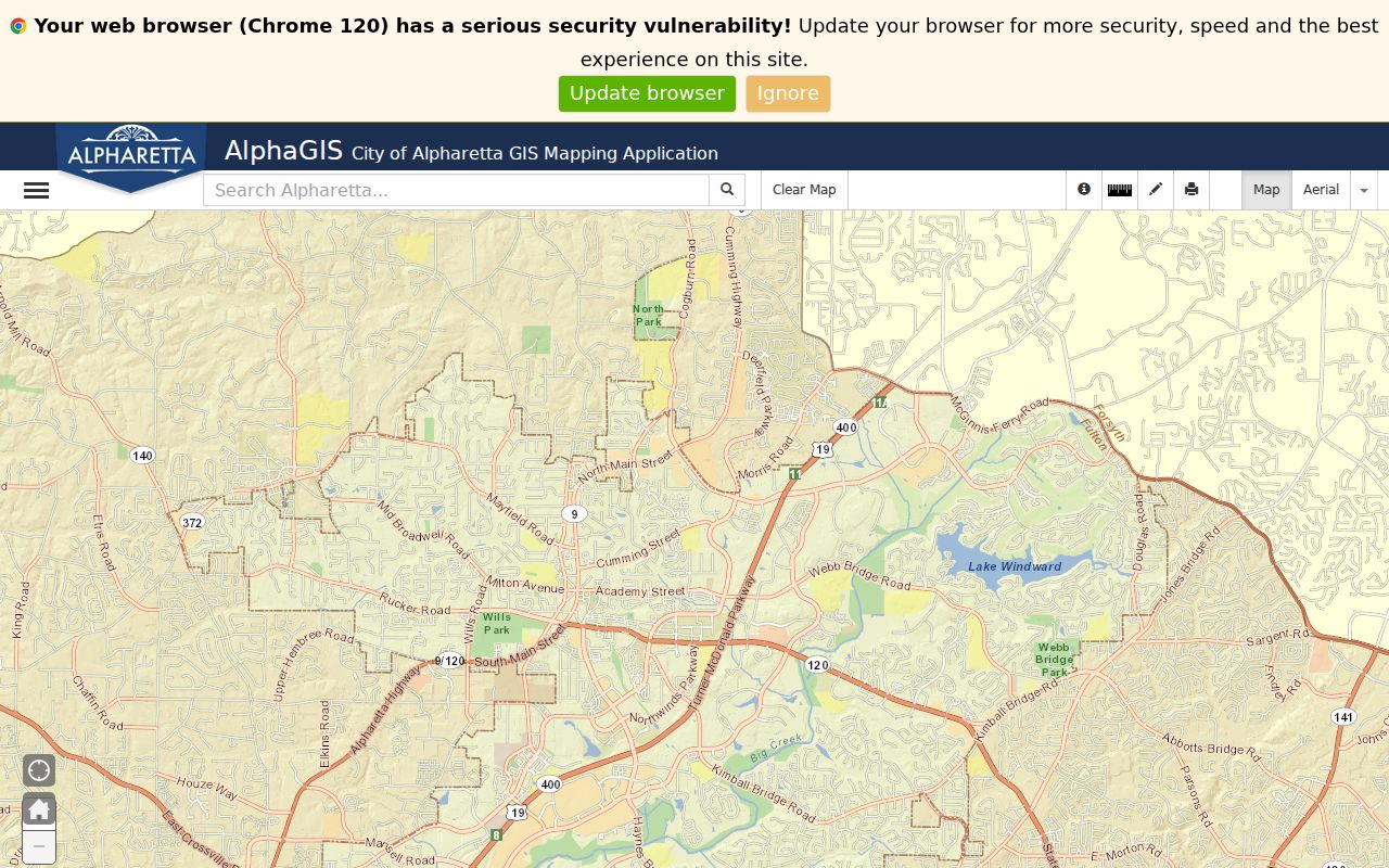
The screen shows why AlphaGIS supports a street-by-street parcel workflow, while still stopping short of identifying every resident.
Read Alpharetta Situs and Mailing Fields
Fulton parcel cards distinguish the situs address from the owner's mailing address. Situs means the physical location of the land. Mailing is where the tax notice goes. When the two match and a homestead indicator is present, the combination can support owner occupancy, but it still does not enumerate a household. A different mailing address may belong to an owner, an entity, or an agent elsewhere.
- Parcel
- A mapped unit of land with its own county identifier.
- Situs address
- The physical address assigned to the parcel, as distinct from the tax-mailing address.
- Plat
- A recorded drawing that defines subdivision lots, blocks, streets, easements, and dimensions.
- Criss-cross directory
- An address-first or telephone-first book used to find the listing attached to a location.
Other useful Fulton fields include tax district, acreage, neighborhood, subdivision, lot, block, assessed and appraised values, improvements, and exemption codes. Their value is in cross-checking the correct parcel, not in drawing conclusions about a person's private life.
Alpharetta Street Directory Record Layers
No single Alpharetta record supplies a complete resident list. The useful street directory is a layered result. Present-day land sources lead, recorded instruments explain title, and dated public or library sources add limited evidence about people connected with an address.
| Record Set | Keeper | What It Shows | Access |
|---|---|---|---|
| Property card | Fulton Board of Assessors | Owner, mail and situs addresses, parcel facts | Free web search; phone fallback |
| GIS parcel map | Fulton GIS and AlphaGIS | Adjacent parcels, jurisdiction, streets, land layers | Free interactive viewers |
| Deeds, liens, plats | Fulton Superior Court Clerk and GSCCCA | Parties, transfers, legal descriptions, book/page | Web index, account images, courthouse terminal |
| Voter record | Fulton Registration and Elections | Lawfully released registration and geography fields | Individual MVP or written list order |
| Permit or code file | Alpharetta Community Development | Work, applicant, contractor, inspection, case dates | City tools or Open Records Act request |
| Criss-cross book | Fulton Library Special Collections | Address-based listed occupant or telephone | Library walk-in access |
The parcel number ties the assessor card to map and permit references. Owner spelling and legal description move the search into the deed index. A street name links the modern parcel group to voter-list geography and older criss-cross pages, but each fact must keep its source date.
From Alpharetta Address to Deed
Georgia deeds may not be indexed under the modern house number. Copy the current owner exactly from the parcel card, then search that person or entity as a grantee in Fulton County. Narrow common names by date and instrument type. If an address search fails, use the subdivision, unit, block, lot, or an exact book and page reference. A grantor transfers an interest; a grantee receives it.
The GSCCCA Real Estate Index can return party names and roles, county, instrument type, filing date, book and page, and available property index data. Its central description reaches back to 1990, while statewide standardization begins in 1999. Fulton-specific online coverage must be checked in the live county selector. The physical deed room reports holdings reaching the early 1800s.
Review the official name-search screen before using the captured view:
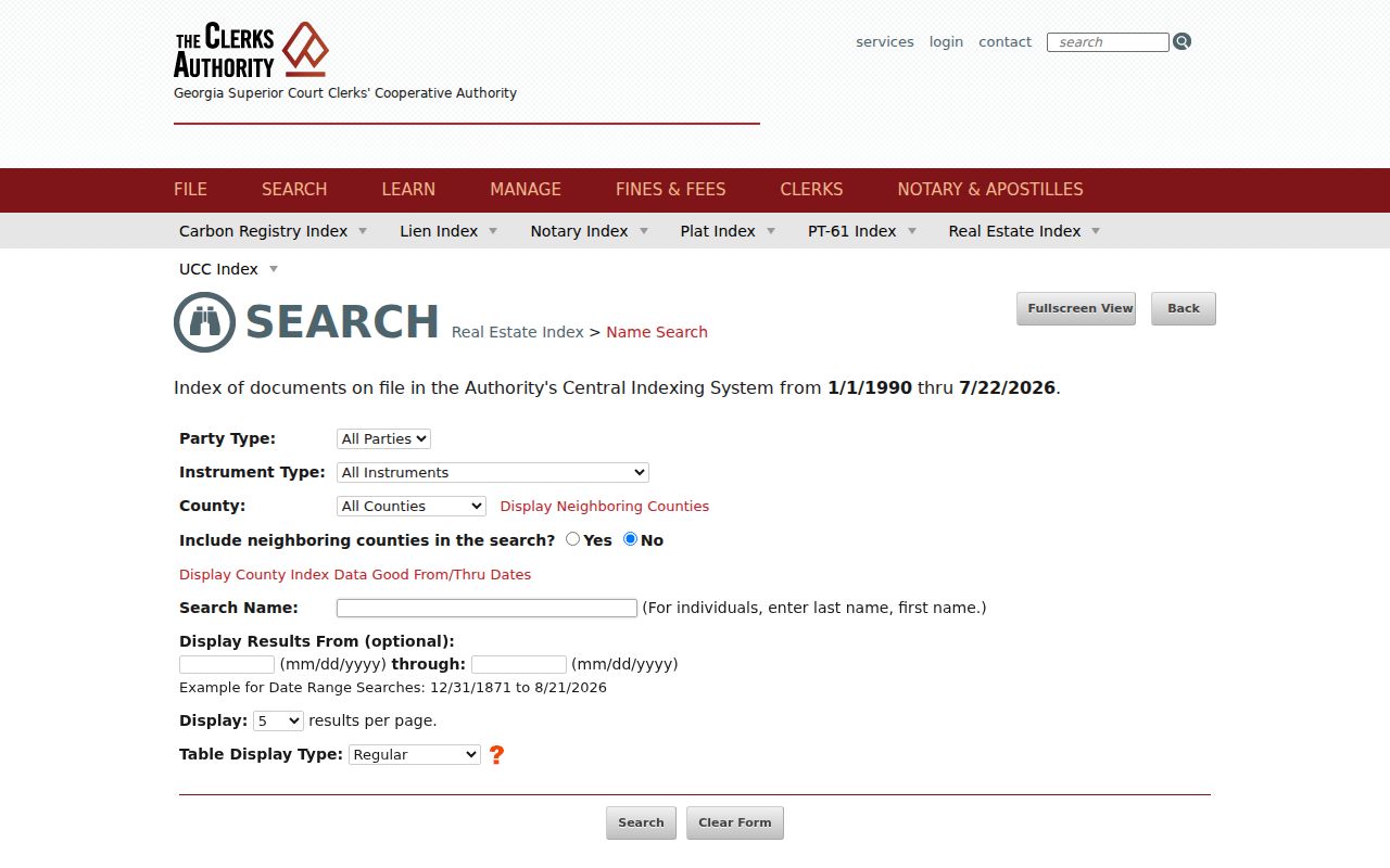
The county, name, party role, date, instrument, and book-page controls show why owner spelling from the assessor is the best handoff.
Fulton Street Records Beyond the Web
A web result is not the end of an Alpharetta street search. Limited-use GSCCCA access supplies index summaries but not full image access. A single-use account is listed at $5 for four consecutive hours, with printing at $0.50 per page. Regular subscriptions support ongoing image work. The Fulton Clerk also provides public courthouse terminals, which can bridge searches or images gated online.
For copies, Fulton lists self-service uncertified pages at $0.50, assisted copies at $1 per page, and a certified first page at $2.50 followed by $0.50 per added page. Certification means the clerk attests that a copy matches the official record. For a casual address trail, an index reference may suffice. Estate or title work may call for the recorded image or certified copy.
The Fulton real-estate room and older grantor/grantee books are the fallback when the standardized run stops. A mail or counter request should include county, party names, instrument type, date range, and book/page if known. That precision saves staff from having to guess which same-name record is wanted.
Note: Online growth does not erase local coverage gaps, even after GSCCCA added more than 12.5 million deed images in fiscal 2024.
Alpharetta Voter Evidence by Street
Georgia My Voter Page is an identity-gated personal lookup, not an anonymous street directory. It asks for a first initial, last name, Fulton County, and date of birth. A match can show status, polling place, precinct, districts, sample-ballot information, absentee status, and participation history. Participation means whether the voter took part, never how a ballot was marked.
Georgia law makes elector lists available for lawful inspection or copy, subject to protected fields and address-confidentiality rules. Fulton accepts written list orders and may offer municipality, precinct, district, election-participation, or other selected output. Ask Registration and Elections for the current form, geographic choices, price, format, and certification terms. Do not scrape MVP to assemble a street roster.
A registration record is dated evidence, not proof of uninterrupted residence. Safe at Home information and other protected identifiers must remain withheld. When a voter source and parcel source disagree, report what each dated record says rather than choosing the more convenient answer.
Alpharetta Permits Date Street Change
Permit, inspection, planning, and code records can date construction or alteration at an Alpharetta address. They may name an owner, applicant, contractor, representative, parcel, scope, or inspection result. Those names show a role in the project. They do not prove who slept at the address or who belonged to the household.
Use the city's submission hub for exposed ePlan or records functions. If the desired permit or historical address file is not online, submit a precise request through Alpharetta's open-records channel. Georgia's Open Records Act generally requires a response within three business days, even when production needs more time.
Visit the Alpharetta submission hub before viewing the saved interface:
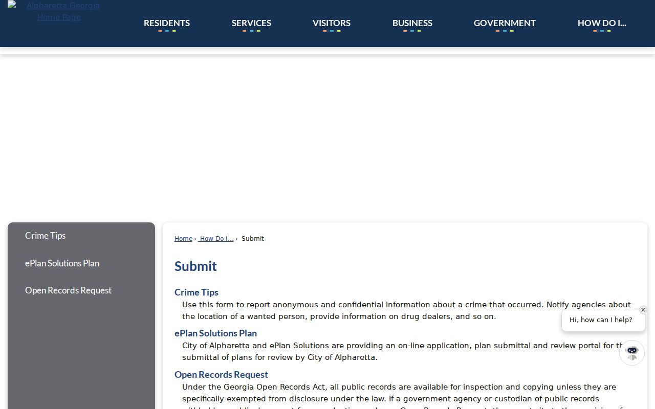
The city route fills a different role from Fulton land records: it documents municipal work and decisions tied to the address.
Postal Alpharetta Is Not City Alpharetta
An Alpharetta mailing line does not establish municipal jurisdiction. Postal territory in 30004 reaches strongly into the Milton area, while 30022 reaches toward places associated with Johns Creek. Some 30076 land touches Alpharetta at the Roswell edge. Check the city boundary and parcel jurisdiction in GIS before asking Alpharetta for a file that Fulton or another municipality keeps.
The distinction matters for permits, city correspondence, voting geography, and historical searches. USPS confirms delivery formatting. GIS identifies incorporated territory. The assessor confirms the taxed parcel. A deed's legal description provides continuity when the mailing label or street number changes.
The Fulton maps directory links property, voting, zoning, land-use, imagery, and boundary resources. Its captured page helps route a street question to the right layer:
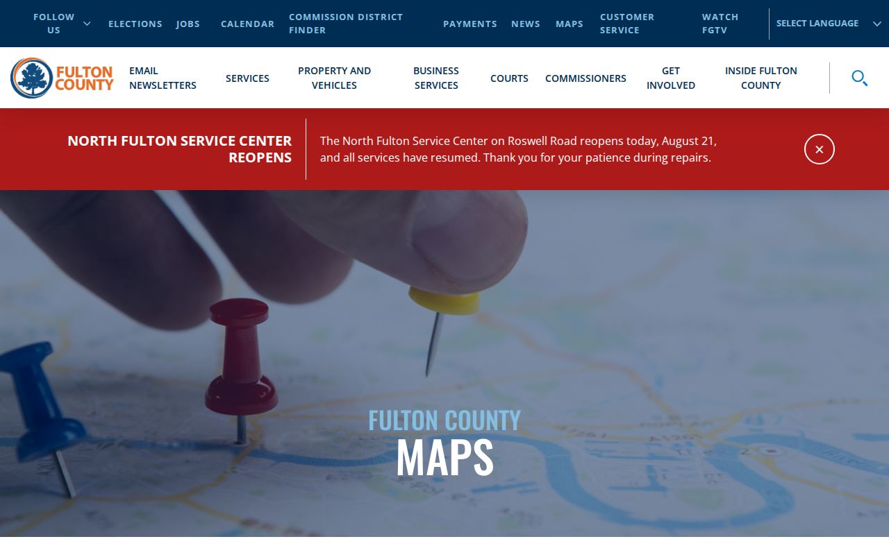
That menu reinforces a key limit: a layer can establish geography, but it cannot establish household occupancy.
Older Alpharetta Streets in Reverse
Fulton Library Special Collections holds Haines criss-cross directories spanning 1946 through 2016 or 2017. These books are the historical address-first layer. A researcher can locate the street, scan house numbers, and read listed occupants or telephone entries. Omissions and nonlisted numbers are expected, so a blank line is not proof that a house stood empty.
The collection also helps document street-name changes. Pair an old listing with a subdivision plat, legal description, parcel ancestry, and city addressing or engineering file. Conventional city and suburban directories provide added name-first context, but the complete historical shelf belongs on the Alpharetta city directory page.
Walk-in library access is important because the Haines run is a physical collection, not a public address database. Ask Special Collections staff about the right volume and geographic coverage before assuming every Alpharetta suburb appears in every year.
Limits of an Alpharetta Street Directory
A parcel roster is not a resident roster. Owners may live elsewhere, and renters, children, relatives, or other household members may not appear in any public address index. Motor-vehicle addresses are restricted by federal law. Utility and alarm customer data may be exempt. A mailing address can point to a post office box or an agent rather than the property itself.
Describe evidence narrowly: who was named, which record named them, the role shown, and the record date. Do not convert an applicant, contractor, deed party, tax-mail recipient, or registered voter into a claim about every current occupant. Protected addresses under Georgia's Safe at Home program are a firm stop.
Lawful use. Alpharetta address records support family history, deed research, and civic inquiry. Never use them to stalk, threaten, harass, or expose a protected person.